Flooding is one of the most common and damaging weather-related events, happening every day somewhere in the United States, according to FEMA.
In an effort to inform citizens before the event and reduce damage, researchers at the Northern Arizona University (NAU) are working with city planners in Flagstaff, Arizona, to build a flood management platform called FloodAware.
SEE ALSO: SenSen Announces AI-Powered Smart City App
The aim is to have a system
that can calculate the severity of the flood and inform residents on the correct
course of action, before it becomes too late.
To do this, NAU researchers are deploying a range of sensors, cameras, and “crowd-sourced” images.
“We realized that cutting-edge hydrological modeling, image processing, and real-time sensing techniques could be brought together to help citizens, city administrators, and first responders better react to flooding and, ideally, be warned of imminent flooding before the water arrives” said Eck Doerry, a professor in the School of Informatics, Computing, and Cyber Systems.
“The system will integrate
numerous data streams to calculate real-time maps of current and upcoming
flooding and can then send a notification to citizens in endangered areas. This
is really what being a smart city means to us: the city keeps an eye on threats
and warns citizens in appropriate ways.”
While sensors built for flow monitoring are the best way to identify incoming floods, the price of the equipment is an issue. That is why the NAU researchers also are building an application for citizens to upload images of rainfall, and city cameras will be re-purposed for the same cause.
“When a simple snapshot image
becomes a valuable data point, every citizen with a cell phone will be able to
contribute to improving flood map accuracy, as well as get real-time information
on flood dangers right on their cell phone,” Doerry said.
The hope is that with this
constant stream of data, the main actors in flood emergency and management will
be able to reduce the amount of property damage and save lives.
This is a particularly pertinent issue, considering for the best part of the year, towns and cities close to the Mississippi River have seen record-setting flooding. Estimated flood damages over the year may have exceeded $12 billion – with thousands forced from their home.

 Best Practices for Deploying and Scaling Industrial AIArtificial Intelligence (AI) is transforming industrial operations, helping organizations optimize workflows, reduce downtime, and enhance productivity. Different industry verticals leverage AI in unique ways.Link to The Center for Adaptive Edge Intelligence
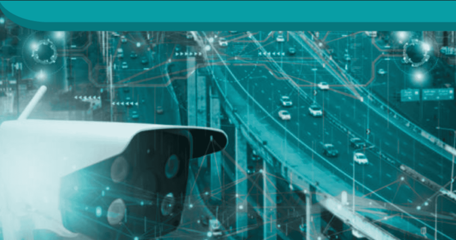 The Center for Adaptive Edge IntelligenceAdaptive edge intelligence brings real-time decision-making to the point of data creation, whether from sensors, machines, or cameras.Link to The Value of Vehicle Electrification
 The Value of Vehicle ElectrificationElectric vehicles (EVs) present automakers with many design, engineering, and manufactu ring challenges.Link to Accelerating Manufacturing Digital Transformation with Industrial Connectivity and IoT
 Accelerating Manufacturing Digital Transformation with Industrial Connectivity and IoTDigital transformation is empowering industrial organizations to deliver sustainable innovation, disruption-proof products and services, and continuous operational improvement.Link to Smart Manufacturing for Automotive
 Smart Manufacturing for AutomotiveLeading a transportation revolution in autonomous, electric, shared mobility and connectivity with the next generation of design and development tools.Link to Center for Data Pipeline Automation
 Center for Data Pipeline AutomationAs businesses become data-driven and rely more heavily on analytics to operate, getting high-quality, trusted data to the right data user at the right time is essential.Link to Center for Automated Integration
 Center for Automated IntegrationThe goal of automated integration is to enable applications and systems that were built separately to easily share data and work together, resulting in new capabilities and efficiencies that cut costs, uncover insights, and much more.Link to Continuous Intelligence: Insights
 Continuous Intelligence: InsightsDigital transformation requires continuous intelligence (CI). Today’s digital businesses are leveraging this new category of software which includes real-time analytics and insights from a single, cloud-native platform across multiple use cases to speed decision-making, and drive world-class customer experiences.